SpaceX flies Starfall a second time in near silence
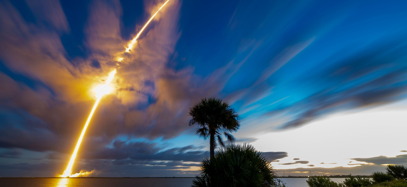
At 7:04 a.m. EDT on Tuesday, October 20, a Falcon 9 lifted off from Space Launch Complex 40 at Cape Canaveral carrying 32 payloads. The one that mattered most to the company flying it was its own hardware. Starfall, a broad, uncrewed reentry capsule, went up for the second time in its life and left the rocket last, separating from the second stage two hours and 48 minutes after liftoff, once the commercial satellites were gone (Space.com). By 8:45 a.m. EDT SpaceX had confirmed every customer payload was deployed (Spaceflight Now). What the company did not say, and has not said since, is what Starfall carried, how long it stayed up, or what happened on the way down. The same company that publishes booster flight counts to the digit has treated this vehicle with the discretion usually reserved for something it does not want competitors reading.
The most detailed public description of the capsule is not a SpaceX document. It is the environmental assessment the company filed with the Federal Aviation Administration in May to get permission for the flight, and that document treats Starfall as infrastructure rather than as a spacecraft demonstration. The filing gives two reasons for the program: moving urgent cargo point to point, and building an orbital manufacturing economy by selling time in microgravity and vacuum with a ride home, what the assessment calls safe return from orbit as a service at scale. Each unit is a short cylinder about 0.75 meters tall and 3.1 meters across, roughly 2,100 kilograms empty, rated to carry 1,000 kilograms of payload down to the surface, for about 3,100 kilograms with a load aboard. A graphic shown in SpaceX's initial public offering roadshow material appears to depict a satellite bus with slots for as many as four capsules, labelled for manufacturing in orbit (Spaceflight Now on the June debut). Whether that bus ever flies is a different question from whether the capsules do. The permission itself is small: the assessment covers two reentries into a Pacific recovery zone, which means the flights that have happened are the entire scope of what SpaceX currently has authorization for. A service business needs a licensing footprint built well ahead of the first customer invoice, and there is no public sign of that footprint yet.
The manner of the June debut is the best explanation for the current reticence. SpaceX kept the payload off the public manifest until close to flight, shared a rendering rather than hardware photography, and cut its public timeline after the booster landing so that neither the upper stage nor the capsule appeared in the broadcast. When deployment was confirmed that morning, the company had not disclosed how many capsules were aboard. On October 20 the capsule again rode to orbit among dozens of unrelated smallsats, again last to separate, again without a stated payload. Two flights in, the public record describes the vehicle's architecture in detail and its missions not at all.
The ride itself was routine by SpaceX standards and the manifest was not. The launch had been scrubbed the previous morning over weather in the booster recovery zone, and the 45th Weather Squadron gave the Tuesday window a 90 percent chance of acceptable conditions. The rocket flew southeast, and booster B1085, on its nineteenth flight, came down on the droneship A Shortfall of Gravitas about nine minutes after liftoff. Twenty of the thirty-one commercial payloads were manifested by Exolaunch, among them four radio-frequency monitoring satellites for HawkEye 360, four communications satellites for the Finnish firm Iceye, and six navigation satellites for Xona Space Systems. Planet flew an Earth-observation satellite called Pelican-12. Portal Space Systems used the ride to demonstrate Starburst-1, a 260 kg spacecraft with room for a 50 kg customer payload, with commercial flights advertised from 2027, a mix the company describes on its Bandwagon-5 mission page as cubesats and microsats (Spaceflight Now).
The most interesting neighbor on that manifest was Varda's W-Series 7 capsule, about three times smaller than Starfall, carrying a cancer drug called Protac to test whether microgravity produces crystal forms with better solubility. The flight was Varda's ninth capsule launched despite the number in its name, following W-8 and W-9 on the Transporter-18 mission earlier in October. Two returning capsules on one rocket, one of them operated by a startup that has been doing this routinely while SpaceX works quietly on its own, tells you something about where the industry actually sits. Bandwagon is the quieter of SpaceX's two rideshare programs. Transporter has flown eighteen missions, and the first in January 2021 delivered 143 payloads in a single launch, a record that still stands.
The design is where the vehicle stops looking like a spacecraft and starts looking like a product, and the constraints live there too. According to the FAA assessment, Starfall carries no main propulsion system. It has an attitude control system that uses inert gas to orient the craft, which means it can point itself but cannot perform a deorbit burn, so it cannot shorten its own stay in orbit or choose where it comes down (Spaceflight Now). With no engine to light, the only brake available is atmosphere, which makes the capsule's blunt shape less a styling choice than the thing that lets it survive the trip: a wide body presents a lot of area to slowing air, and the assessment notes the capsules can fly either a low Earth orbit or a suborbital profile, on a Falcon 9 or on Starship. Orbital energy sets the heat load, so the shape that handles the steepest possible reentry is the one that can also handle the shallowest. The capsule is built in two pieces that separate after reentry: an aluminum top plate partially wrapped in thermal protection material, about 1,400 kilograms, and a carbon-fiber heat shield of roughly 700 kilograms holding two large compressed nitrogen bottles of 151 liters each plus several smaller auxiliary bottles. Lifting the top plate exposes the parachute, and there are three of them, a drogue, a pilot and a main, attached at four reinforced points. Recovery happens in the Pacific, the same ocean used for Dragon. The June flight reportedly validated the capsule's autonomous guidance before a targeted splashdown (SatNews).
Two flights is a test program, not a service. What SpaceX has not established is the cadence, the price, or whether any paying customer has boarded, and the absence of a named payload on the second flight suggests the answer to the last question is still no. The competitors are not standing still: Varda has flown nine capsules and is running pharmaceutical experiments on them, and Portal is building a vehicle that does the same orbital delivery job for small payloads. What would move Starfall from demonstration to business is not a third flight but the paperwork that follows one, since the current authorization covers exactly two reentries. Until SpaceX files for more and names a customer, the accurate description of the capsule is the one the company keeps declining to give.
Relativistic Effects on Proof-of-Work Based Cryptocurrency Protocols
Abstract
The blogpost explores relativistic effects on proof-of-work based cryptocurrency protocols. Cryptocurrencies are here to stay and it is quite plausible that future human colonists spread across the solar system and beyond will use a decentralized cryptocurrency as opposed to a fiat currency issued by a central authority. The low transaction fees, the ubiquitous access, not being bound by exchange rates or interest rates, not being controlled by financial institutions who are serving foreign interests -- these are some of the advantages cryptocurrencies will enjoy in the thriving exo-economy.
Motivation
At present, on a cryptocurrency network, the information exchanged by the nodes in the network reaches each node almost instantaneously. The speed at which the TCP/IP packets travel on the network and the fact that the Internet spans only the Earth and the LEO makes this possible. However, once the region the network is spread across will reach certain boundaries, the network size would have negative impact on the network: increasing communication failures due to network delays, more frequent and longer blockchain forks as part of the proof-of-work protocol, network segregation into local sub-networks (let us call them topological forks), just to name a few.
Nullius in verba... as they say. Let's go deeper into details and figure out a feasible solution for a truly interplanetary cryptocurrency.
Cryptocurrency 101
You can think of a cryptocurrency as a digital money ecosystem. Plain and simple. A collection of technologies are part of this ecosystem, all of them the result of years of research in the cryptography and distributed systems fields: a decentralized network of computers, a public transaction ledger -- also known as a blockchain, a protocol that consists of a set of rules for transaction validation, a decentralized consensus mechanism. [ANTO]
A decentralized network of computers ensures the resilience of the network. We can think of both computing power and data storage capabilities. As the computing power is distributed across the network, any disruption can be successfully handled by the network. Transaction data resides on all nodes of the network. This implies that even physical damage done to network nodes will not take out the network.
The blockchain is a public distributed ledger which stores all transactions handled by the network. As the name suggests, the blockchain is a list of data blocks. Each of these blocks contains a set of transactions, as many as can fit in the block, given the maximum size of the block (a characteristic of the network). Transactions contain sender and receiver info, and the amount/asset that is changing ownership, and they are broadcasted and added to blocks by network nodes. Blocks are linked to the previous block in the chain by a cryptographic hash (the hash of the previous block becomes part of the current block). This backward link leads all the way to the first block in the chain, the Genesis block. Each cryptocurrency blockchain has one. The cryptographic hashes have an important role in protecting the blockchain from tampering attempts.
The transaction validation rules enforced by the nodes in the network ensure that the content of each block in the blockchain is valid. By far, the most frequent form of fraud is double spending. The validation process makes sure that the inputs on the transactions exist and that they have not been already spent. The transactions marked as invalid are rejected by the network and do not make it on the blockchain.
The consensus mechanism is designed so that all the nodes in the network can agree on the set of transactions to be included in the current block. It shifts the authority and the credibility required by a central clearing house to a network of nodes. Important to mention here that, inherently, the nodes do not trust each other, and they do not have to because the trust is enforced by the consensus mechanism itself.
The Proof-of-Work
We mentioned above that one of the key innovations that make cryptocurrencies possible is the decentralized consensus mechanism. Currently, the de facto consensus mechanism is the proof-of-work.
The proof-of-work consensus mechanism was proposed by Satoshi Nakamoto in 2008 [NAKA]. In general, a proof-of-work is a piece of data that requires costly and time consuming computational effort, but it is very easy to verify. A very good analogy is one of your semester projects in college... it takes you a whole semester to finalize it, but it takes very little time and effort for your supervisor to evaluate and grade it. Similarly, proof-of-work is used by cryptocurrencies for block generation. For the network to accept the block, nodes must complete a proof-of-work which also guarantees the integrity of the transactions included in the block. The difficulty of the proof-of-work is adjusted by the network so that a new block can be generated every fixed time interval. This fixed time interval is characteristic to every cryptocurrency. Most notably, for Bitcoin this time interval is set to 10 minutes.
Satoshi Nakamoto's solution, emobodied by the proof-of-work algorithm above, achieves consensus on the network without a central trusted authority (hence the name decentralized consensus mechanism).
Enter the Ansible
For the astute reader, it is quite obvious at this point that communication delays between the network nodes have a direct effect on the protocol described above. An important assumption made when the protocol was designed is that these delays are small, and this is why they can be handled by the network when the nodes choose to follow and validate the blocks on the longest blockchain fork. Also, this is the reason why all the nodes in the network can have a say in the network consensus. They all can find a solution for the current block, and they all can be rewarded when they find the solution. The communication delays witnessed by the peripheral nodes will cripple their ability to find solutions and these nodes will not be incentivized to remain in the network. Hence, the segregation of the network effect mentioned earlier.
Unfortunately, given the current technological level of our civilization, we do not have at our disposal a technology that allows us to communicate fast and reliable over the large expanse of space. It would take a hell of a wait time to proces a payment made by a mining corporation in the TRAPPIST-1 system, 12 parsecs within the constellation of Aquarius, to a planetary engineering corporation located in the Sol system... twice 39 years plus the block confirmation time.
Fortunately, the Sci-Fi literature already offers a solution for our problem. For those of you, Sci-Fi nerds like myself, that have already read Rocannon's World [LEGU] and Ender's Game [CARD], the Ansible device must sound very familiar. The ansible is a fictional device capable of faster-than-light communication. To word this differently, an operator of such device can send and receive messages to and from another device over any distance with no delay.
Hence, even if only in the realm of science fiction, we will be able to devise a solution for the problem that the future cryptocurrency enthusiasts, living in the outer space colonies, will eventually face.
The Special Relativity Theorem
Before elaborating more on a required upgrade of the network protocol, we have to discuss the special relativity theorem and its implications on how time and distance are perceived in reference systems.
Albert Einstein was awarded the Nobel Prize in Physics in 1921. He received it for his contributions to the understanding of the photoelectric effect, after publishing a paper on it in 1905. At that point his contributions to the understanding of gravity through his theory of relativity were well known, but the new perspective on gravity offered by Einstein's theory was so controversial that the Nobel Prize Committee members chose to protect their reputation. They decided that it was appropriate to award Einstein the Nobel Prize for "his services to theoretical Physics, and especially for his discovery of the law of the photoelectric effect."
During his research Einstein attempted to reconcile the principle of relativity with the principle of the constancy of the velocity of light. This attempt led Einstein to the discovery of the special relativity theorem. Einstein's Gedankenexperiment (thought experiment) with a test subject travelling by train is very well known in the scientific community. If our human subject is walking towards the front of the train with velocity w with respect to the train, and the train is moving with velocity v with respect to the embankment, then an observer on the embankment will measure as W = v + w the velocity of our subject on the train. If instead of our traveller, we consider a beam of light propagating with velocity c, the velocity measured by the observer on the embarkment would be v + c. However, this violates the principle that the velocity of light is constant in any inertial reference system and equal with c. Einstein found a solution for this problem and thus resolved the incompatibility.
One direct consequence of the special relativity theorem is the Lorentz transformation.
Before the relativity theorem, time in physics had an absolute significance, independent of the state of motion of the reference system. However, every inertial reference system has its own particular time. We always have to be told which inertial reference system the statement of time refers to. If you look at your watch, the time you read is the time as measured in the Earth inertial reference system. By the way, the Earth circles the Sun on an almost circular orbit, which means that any body maintaining a constant position in the Earth reference system should experience some centripetal force. However, this centripetal component is negligible compared to the gravitational pull of the Earth. Hence, engineers use this aproximation when calculating satellite orbits.
Back to our original trail of thoughts... the axiom that lays the foundation for the Lorentz transformation states that every ray of light possesses the velocity of transmission c relative to any inertial reference system. That is the velocity of transmission in vacuo (in a vacuum).
If following Einstein's thought experiments [EINS], the above-mentioned axiom leads to a set of four equations that explain the relation between dimensional and temporal coordinates in two inertial reference systems:
x' = (x - vt)/sqr(1 - v2/c2)
y' = y
z' = z
t' = (t - x*v/c2)/sqr(1 - v2/c2)
where:
x, y, z, t coordinates in inertial reference system K,
x', y', z' , t' coordinates in inertial reference system K',
v the relative velocity between inertial reference systems;
also, the expression 1//sqr(1 - v2/c2) is known as the Lorentz factor.
The Lorentz transformation equations are a more general case of the Galilean transformation:
x' = x - vt
y' = y
z' = z
t' = t
which is the basis of the assumptions of the classical mechanics as to the absolute character of both dimensional and temporal coordinates. The above are the result of replacing velocity c with ∞ in the Lorentz transformation equations.
The Lorentz transformation has a few corollaries which have an impact on time dilation, length contraction, relativistic mass, relativistic momentum, and relativistic kinetic energy. The one that concerns us is the time dilation corollary:
Δt = γΔt'
where γ is defined by
α = 1/γ = sqr(1 - v2/c2)
Assuming a clock at rest in inertial reference system K, and moving with the velocity v in the inertial reference system K', the time Δt' between two ticks as measured in the frame K' is longer than the time Δt between the same ticks as measured in the rest frame of the clock, K.
Relativistic Effects on Proof-of-Work
To better understand the relativistic effects on how relative time is perceived in two inertial reference systems (or Galilean reference systems [EINS]) we have to mention the twin paradox. The twin paradox is a thought experiment that involves two identical twins. One of the twins makes a journey into space onboard a relativistic spaceship, and upon his return to Earth discovers that his twin has aged much more than he did. Depending on how fast the spaceship moves through space and/or how long the journey was, our traveller could return to Earth and realize that several generations have passed meanwhile.
As a direct application of the twin paradox, we have Mazer Rackham, International Fleet Admiral and Ender Wiggin's mentor, as portrayed by Orson Scott Card [CARD]. The fighter pilot who destroyed the Formic Fleet Flagship, killed the Hive Queen, and ended the Second Formic Invasion, Mazer Rackham is sent on a journey on a relativistic spaceship and returns to Earth 100 years later in order to assist the International Fleet. Upon his return he has barely aged a few years.
Similarly, if a subnetwork is moving relative to the rest of the network, the nodes in the subnetwork would experience time dilation as predicted by the special relativity theorem. Hence, they are at a disadvantage compared to the rest of the nodes because they have less time available to find a solution for the proof-of-work problem. In order to make thing square for all the nodes in the network, the difficulty of the problem should be adjusted in each subnetwork using the Lorentz factor: in order to compensate for time dilation, the relativistic nodes should have to solve a simpler problem. Also, their block confirmation time should decrease as well.
One element is missing still... how do ansibles synchronize? What value has the Lorentz factor for each one of them? One simple solution for this problem is having one of the ansibles (let us say the Earth-bound one) broadcasting a beacon every fixed number of seconds. The ansibles interfacing to subnetworks would pick up the broadcast, and by measuring the time interval between the beacons, infer the Lorentz factor. Once the Lorentz factor is determined, the nodes mining on the subnetworks will have their proof-of-work difficulty and the block confirmation time adjusted accordingly.
A more Down-to-Earth Solution for the Problem
We will fork the storyline (pun intended) at Enter the Ansible paragraph, and suggest a more down-to-earth solution for the problem. The peripheral nodes are not to participate in the consensus. Their function would be just to relay messages (a.k.a. payment information) across the network. In our multi-planetary scenario, the nodes working on the proof-of-work would reside on/around the Earth, and the network nodes on Mars or any other region in the Sol system would have to wait 2x (network packets travel time) + (block confirmation time) in order to confirm a payment. However, such a solution would have an Achilles heel very hard to defend... if starting its mining engine, any peripheral node could take over the local network and force a topological fork of the network. For a node, the incentive of staying honest on the current network must be stronger than any reward obtained by cheating.
Concluding remarks
While the blogpost contains some elements of fiction, it accurately describes the cryptocurrency ecosystem, the special relativity theorem, the Lorentz transformation and its corollaries. We would like to thank the readers that went through this exercise with us. Undeniably, cryptocurrencies are disrupting the global economy and they are here to stay. Undeniably, we -- as a species -- will explore and migrate farther than the LEO. History has taught us that decentralization is the key to survival and prosperity. Let us together make the future happen.
References
[ANTO] Antonopoulos, Andreas M., Mastering Bitcoin, Second Edition, O'Reilly Media, Inc., June 2017;
[CARD] Card, Orson Scott, Ender's Game, A Tor Teen Book, 2014;
[EINS] Einstein, Albert, Relativity, The Special and the General Theory, Princeton University Press, 2015;
[LEGU] Le Guin, Ursula K., Rocannon's World, Harper & Row, 1977;
[NAKA] Nakamoto, Satoshi, Bitcoin - A Peer-to-Peer Electronic Cash System, www.bitcoin.org, 2008;
Featured blog posts
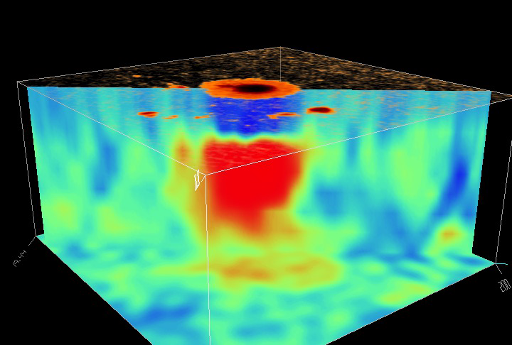 A Transformer model called EarlyDetect, trained on SDO/HMI helioseismic and magnetic observations by an NJIT-led team including Princeton and NASA Ames, forecasts the emergence of solar active regions on the Sun an average of 9.24 hours before they become visible, outperforming LSTM baselines and revealing that temporal smoothing filters hid the faintest precursor signals (Tirona et al., JGR Machine Learning and Computation, 14 August 2026)
 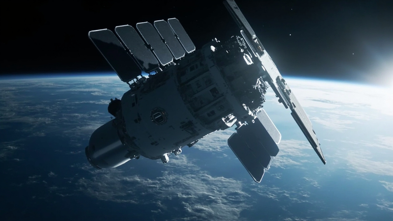 Sixty-three relays over your head: how the U.S. Space Development Agency quietly built a sky internet.
 Posted on May 24, 2026
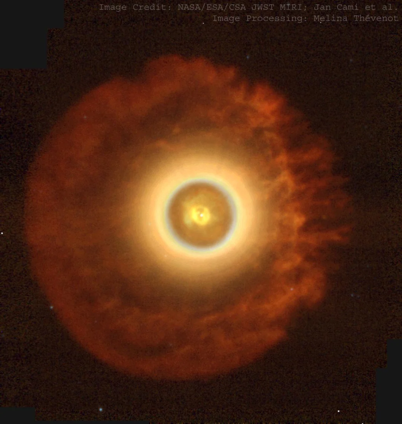 New observations from the James Webb Space Telescope are providing the clearest and most detailed view yet of the environment where these carbon structures form and evolve.
 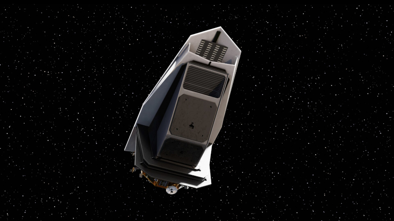 Engineers and scientists are assembling a spacecraft designed for a specific and increasingly important purpose: finding potentially hazardous objects before they find Earth.
 Posted on May 4, 2026
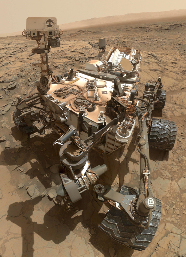 An international team of researchers announced that NASA's Curiosity rover had identified more than 20 distinct organic molecules preserved in ancient Martian rocks.
 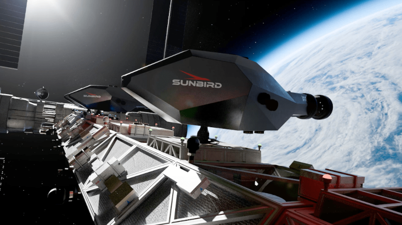 To truly shorten the distances between planets, something more powerful is required—something that does not merely burn fuel, but transforms matter itself into energy.
  There are moments in engineering when progress is obvious. And then there are moments when progress looks like subtraction.
 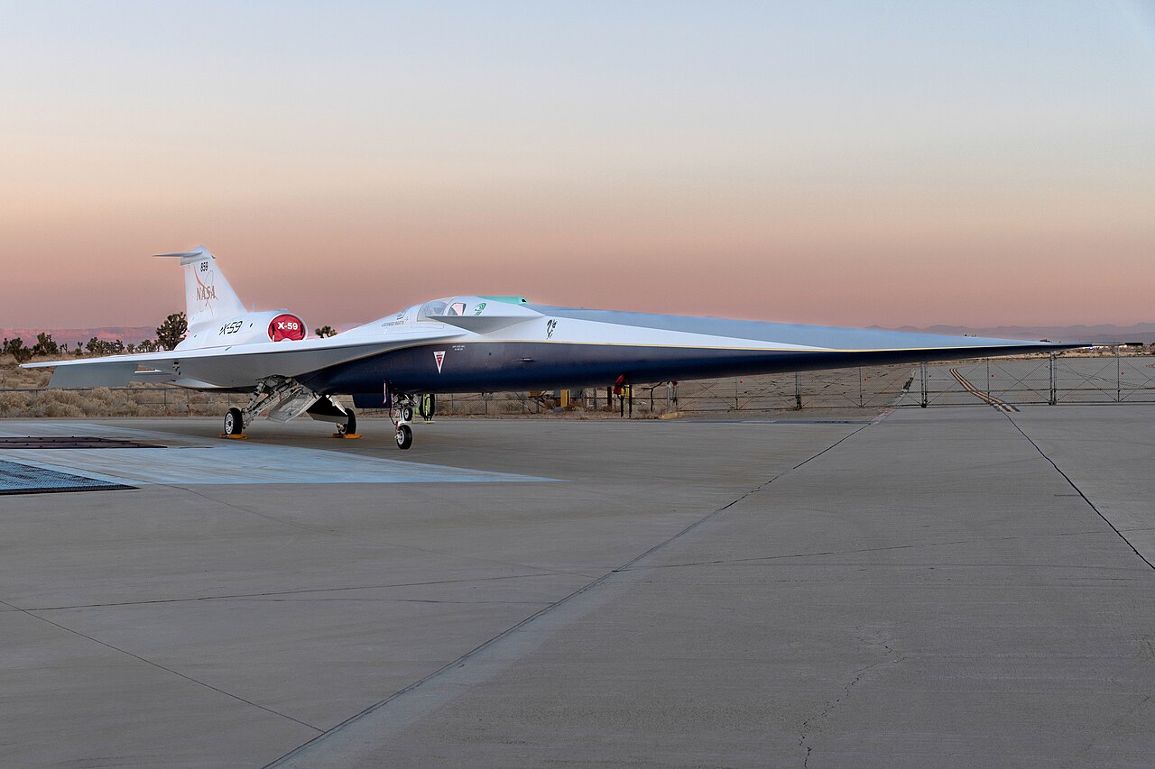 For as long as humans have pushed aircraft beyond the speed of sound, there has been a cost to that achievement—an invisible but unmistakable shockwave that ripples across the sky and crashes into the ground as a sonic boom.
 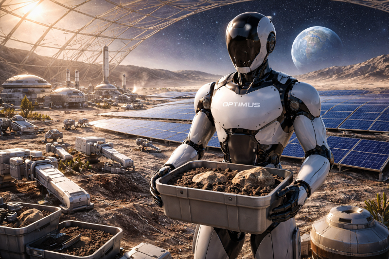 There are moments in the history of technology when an idea appears so simple in form and so vast in implication that it changes how we think about the future.
 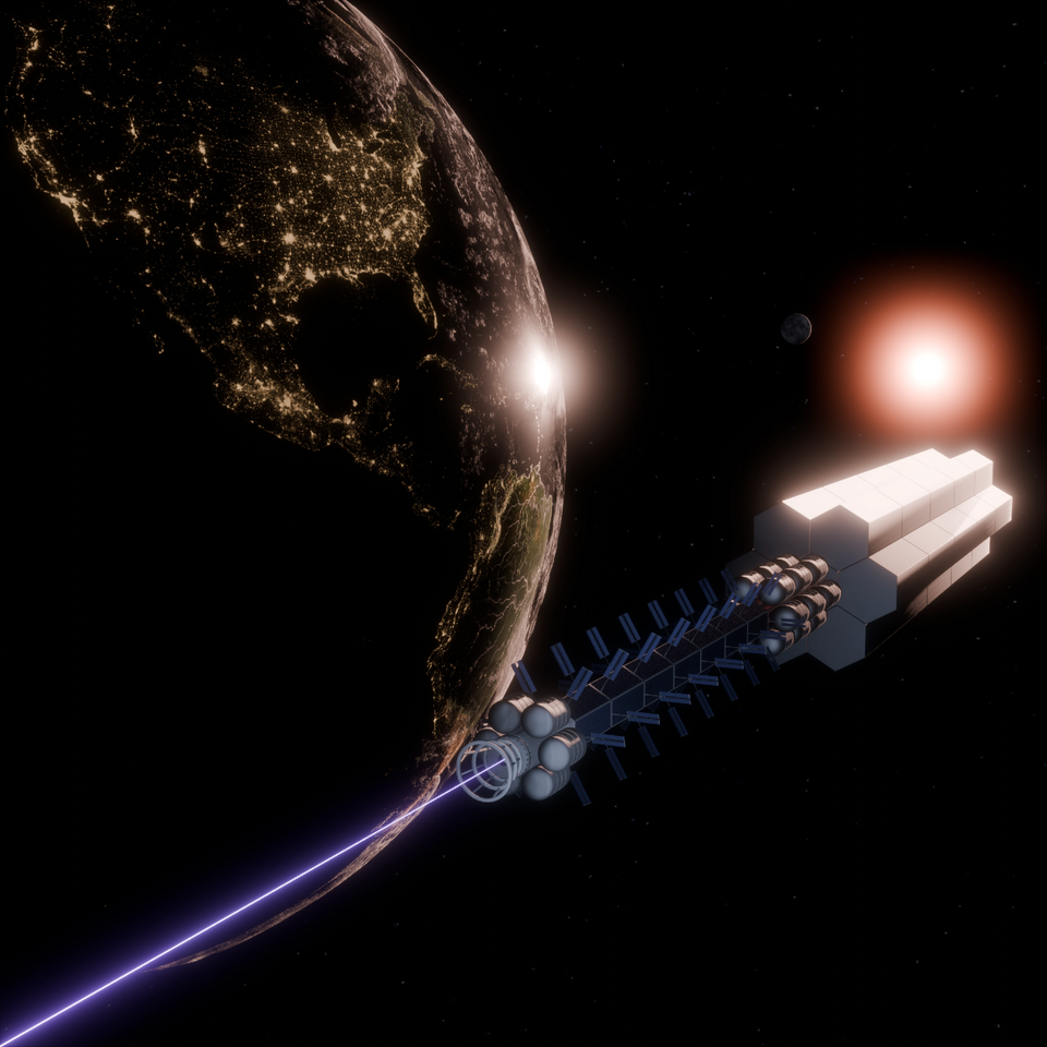 The American Institute of Aeronautics and Astronautics has released a groundbreaking report identifying ten technologies that will fundamentally reshape aerospace.
  Every propulsion revolution has been delayed not by imagination, but by power.
 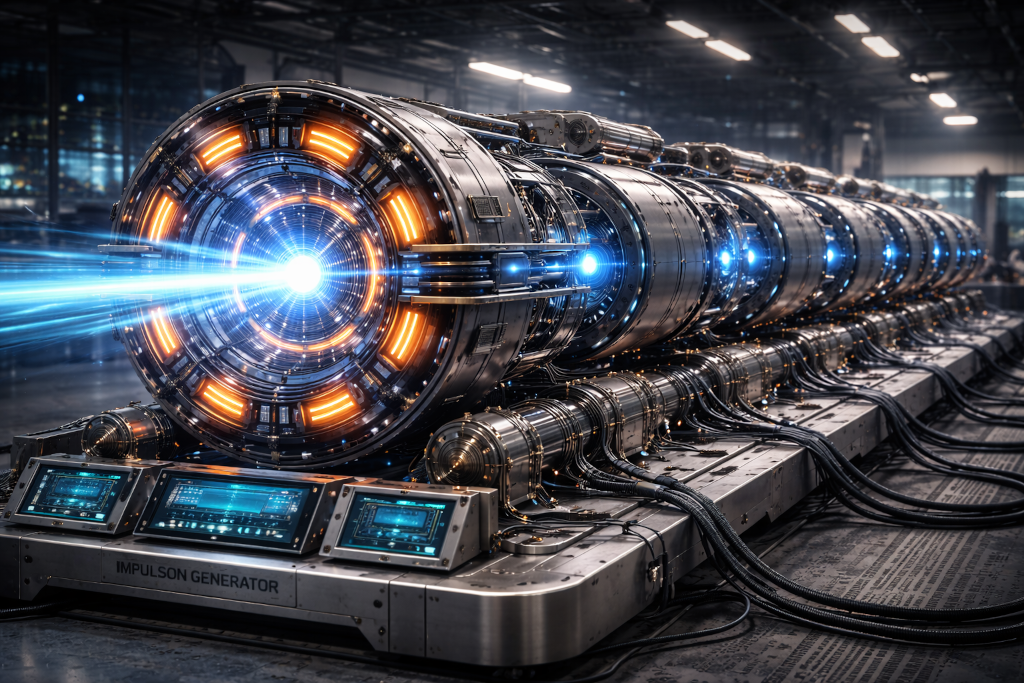 The LASER taught us that energy does not need to explode outward to be useful. It can be channeled. It can be persuaded to exit matter in an orderly way.
  The story of the LASER does not begin with light, but with order.
 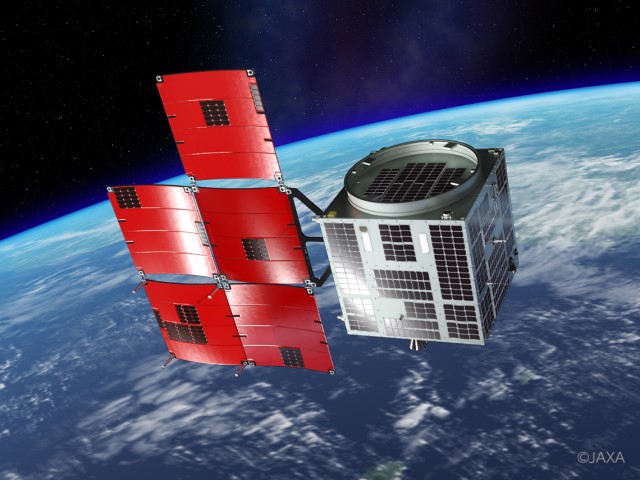 Today we are joined byYasunori Yamazaki, Chief Business Officer at Axelspace. Axelspace are pioneers of microsatellite technology advancing the frontiers of space business, reimagining traditional ways of using space, and creating a society where everyone on our planet can make space part of their life.
 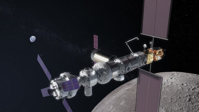 Today we are joined by Logan Ryan Golema, Founder & Principal, and Vishal Singh, Chief Scientist at Lunargistics.
 Latest blog posts
SpaceX flew the second demonstration of its Starfall uncrewed reentry capsule on October 20, 2026 at 7:04 a.m. EDT from Cape Canaveral on a Falcon 9 carrying 32 Bandwagon-5 rideshare payloads, with the capsule separating last at T+2h48m; the FAA environmental assessment describes a 2,100 kg disk 3.1 meters across that can return 1,000 kg of payload from orbit, has no main engine or deorbit burn, uses cold-gas attitude control and three parachutes for a Pacific splashdown, and was flown twice without SpaceX disclosing any customer payload Posted on October 25, 2026
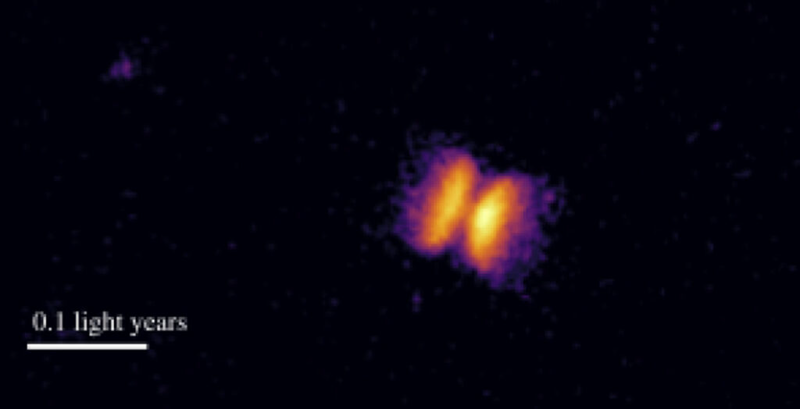 Hubble and multi-telescope observations of V445 Puppis presented at NAM 2026 reveal that the Milky Way's only confirmed helium nova is a white dwarf feeding a rare stripped helium star, with mysterious high-speed oxygen-rich clumps called bullets racing through the bipolar outflow
 Posted on October 24, 2026
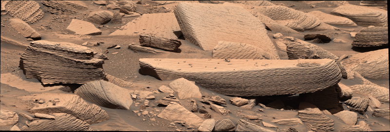 NASA's Curiosity rover documents supercritical climbing wind ripple strata at Jawbone Canyon in Gale crater, the first direct physical evidence of an ancient sandstorm on Mars, published on the cover of Geology on July 1, 2026
 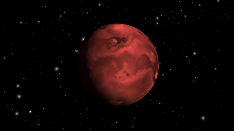 Park Coy et al. 2026 in The Astrophysical Journal Letters use a single JWST MIRI low-resolution spectrometer secondary eclipse of the ultra-short-period super-Earth HD 3167 b (Teq = 1786 K, R = 1.6 R_earth, P = 0.96 day, 154 light-years away in Pisces) to measure a dayside brightness temperature well below the bare-rock maximum, the first lava world cooler than about 2200 K with evidence of an atmosphere and the opening result of a 10-planet program led by Megan Weiner Mansfield.
 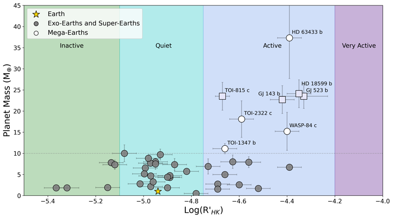 Brinkman & Cowan 2026 (arXiv:2610.12600, ApJL submitted) re-examined the four candidate 'Mega-Earth' planets above the 10 Earth-mass runaway-gas-accretion threshold and showed that all of them orbit magnetically active stars; with < 1% probability that this is coincidence, the authors conclude Mega-Earths are artifacts of stellar activity contaminating radial-velocity mass measurements rather than real supermassive rocky planets
 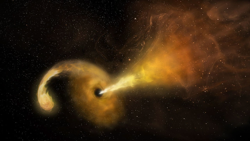 TDE 2025abcr reveals a million-solar-mass wandering black hole 9.3 kiloparsecs from its host galaxy's nucleus
 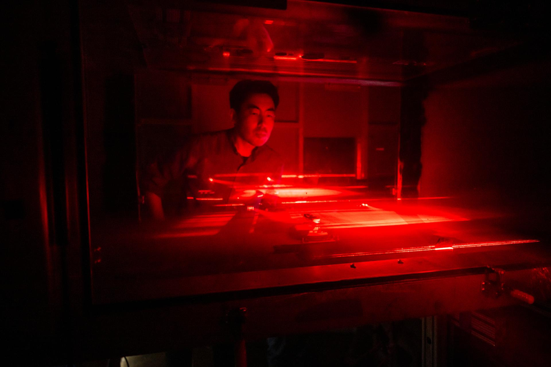 An engineering model of NASA's DAVINCI descent sphere survived six one-hour thermal cycles to 465 degrees Celsius at a Pennsylvania furnace, clearing the way for the first U.S. in-situ measurements of Venus's lower atmosphere in nearly fifty years.
 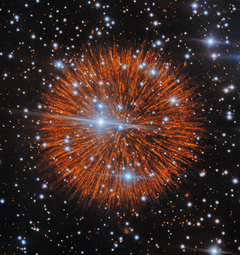 Cunningham et al. 2026 in The Astrophysical Journal use deep Gemini North narrowband imaging of Pa 30, the Type Iax remnant of the 1181 supernova, to reveal that the famous radial filaments are not smooth streaks but cascades of small gas knots, with the number of resolved filaments roughly an order of magnitude higher than in earlier imaging
 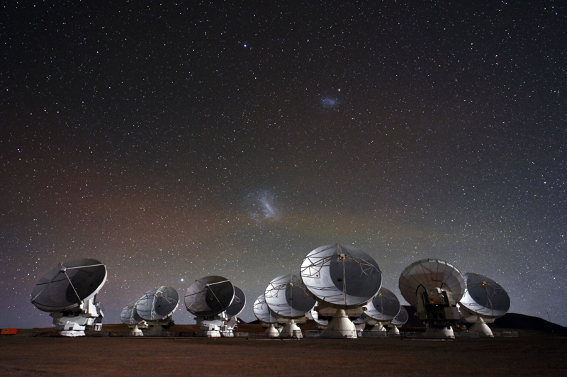 Louisa Mason and the University of Manchester used four archived ALMA calibrator scans to run the first SETI survey at millimeter wavelengths, expanding technosignature parameter space and showing that previous published surveys may have covered millions more stars than reported
 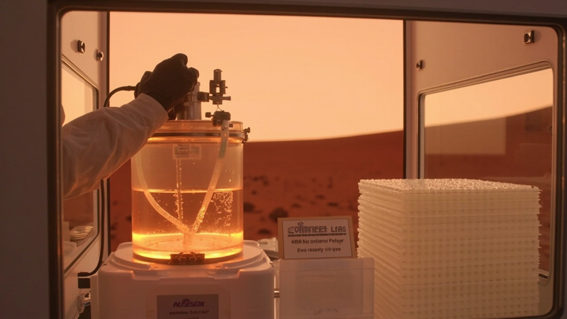 Pioneer Labs' evolved Cupriavidus necator pulls every atom it needs from simulated regolith, water, and acetate made from Martian air, then turns it into three times more bioplastic than its parent strain, the first concrete step toward a biology that builds habitats on Mars instead of bringing them from Earth.
 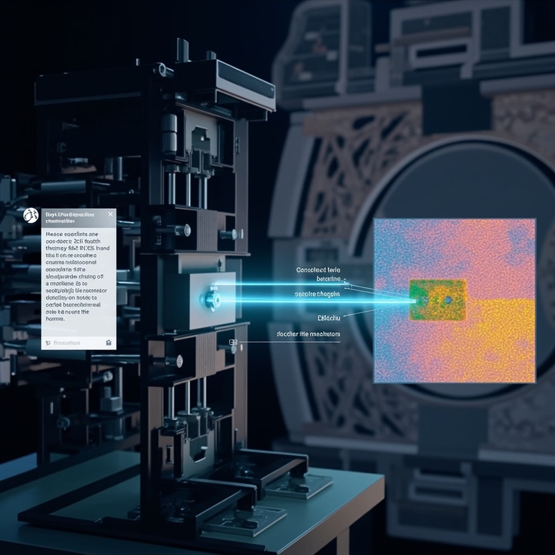 At Argonne's Advanced Photon Source, a multimodal-LLM agent drove a synchrotron beamline through a chat box, asking for the interface between two regions of a microchip and finding it without an operator writing a single line of scan code.
 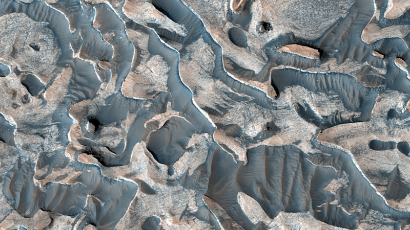 A new HiRISE image of layered deposits in Mars's Arabia Terra region, released September 28 2026 by HiRISE co-investigator Cathy Weitz, shows rhythmic bedrock layers that researchers attribute to global cyclic processes such as dust storms and groundwater activity rather than a single depositional event
 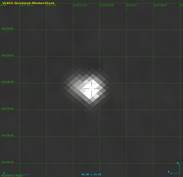 Barbara Balmaverde, Alessandro Capetti, Marco Chiaberge, Francesco Massaro, and collaborators (INAF Turin) used the Lyman-break technique on TESS-class optical survey data plus GMRT and VLA radio follow-up to spectroscopically confirm TXS 2354+015 as a high-redshift radio galaxy at z=4.946 in VLT/FORS2 observations on 18 September 2025; its rest-frame 500 MHz radio luminosity of 6.2e29 W/Hz exceeds the previous record holder TN J0924-2201 by a factor of two and identifies it as the most powerful radio galaxy currently known, with implications for AGN-feedback models of the early Universe
 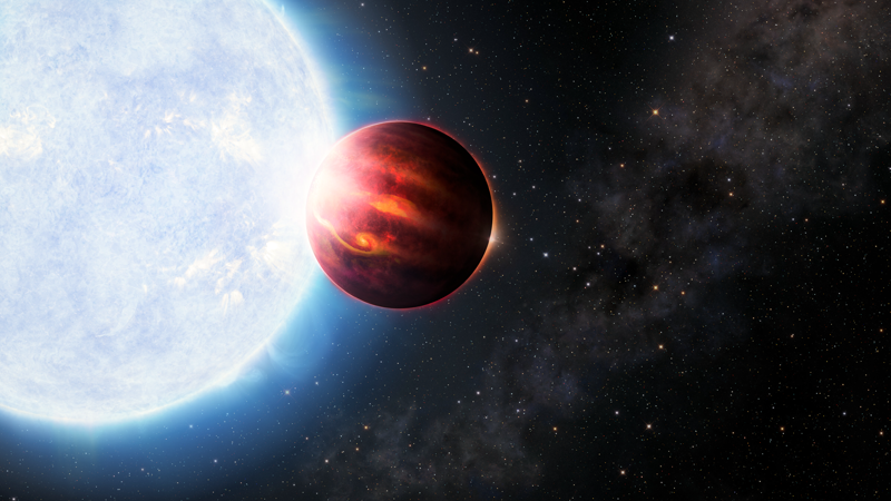 Sanchez et al. 2026 in Nature Communications report the first simultaneous detection of gaseous magnesium and silicon in an exoplanet atmosphere, using IGRINS on Gemini South to measure WASP-189b (an ultra-hot Jupiter 320 light-years away in Libra) and show that its magnesium-to-silicon ratio matches that of its host star HD 133112, the first direct evidence for a foundational assumption about how rocky planets inherit the elemental makeup of the protoplanetary disks they formed in
 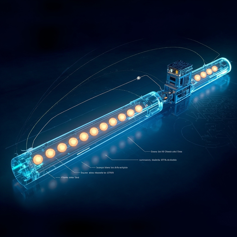 IonQ researchers showed that a surface-code decoder for fault-tolerant quantum error correction can run end-to-end on a single 12-core Apple M4 Max, holding 408 logical qubits alive through more than a million T gates while adding only 0.02 percent of overhead — a result that lets the classical co-processor stop being a separate procurement line for any team building a MegaQuOp-scale machine.
  Subscribe to blog posts using RSS